top of page
Mapping Mining with Satellite Imagery
This was an independent Earth Science research project undertaken Spring quarter of my Sophomore year. The goals was to use Interferometric Synthetic Aperture Radar (InSAR) data from the Sentinel 1 satellite, combined with Geographic Information Systems (GIS) to find displacement in Chinese mines from limestone mining.
See more at: https://github.com/openbracketredactedclosebracket/Track142-SARment-tracker

01
Mapping Mining with Satellite Imagery

01
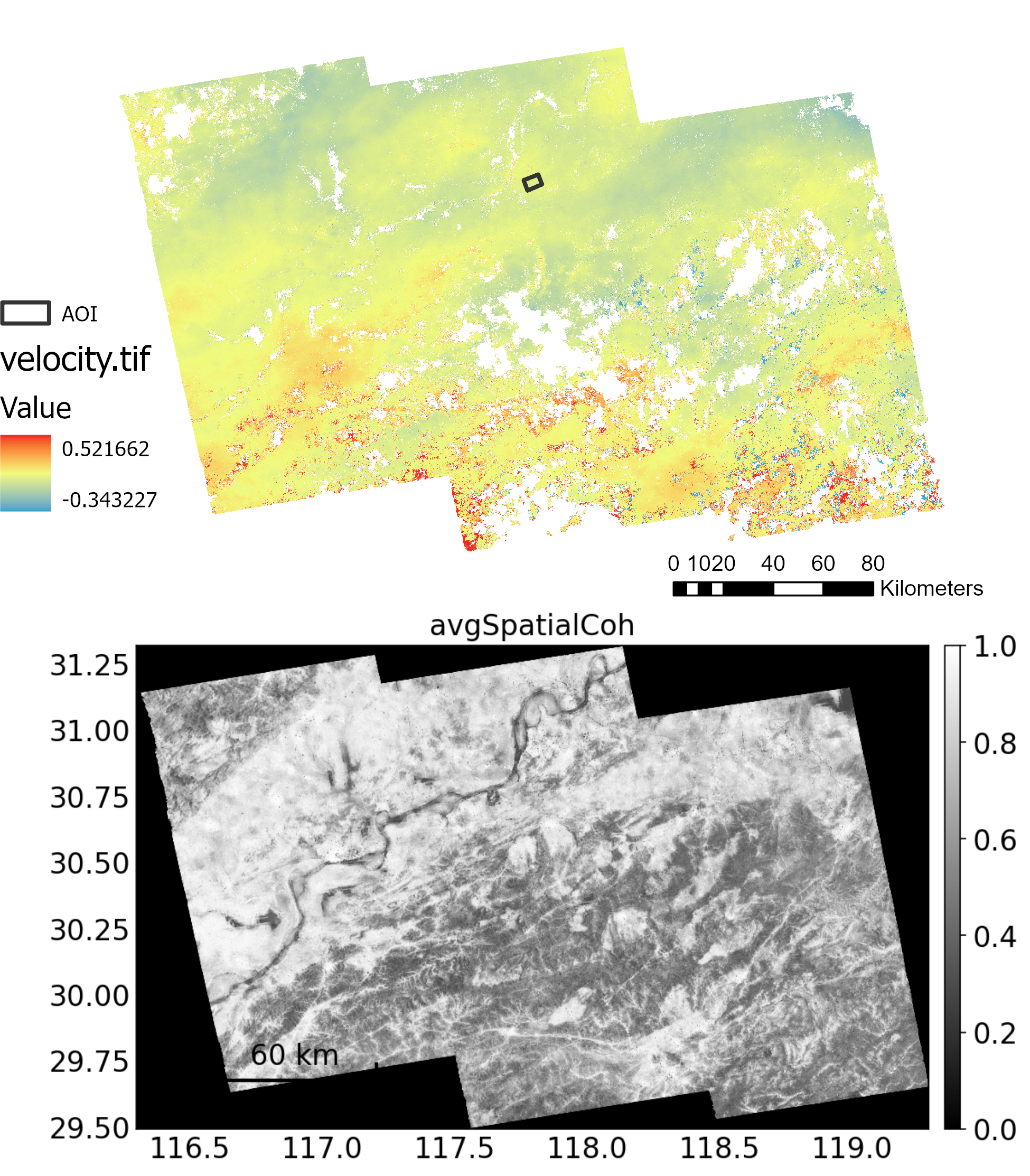
Entire_Velocity_AvgCoh

02
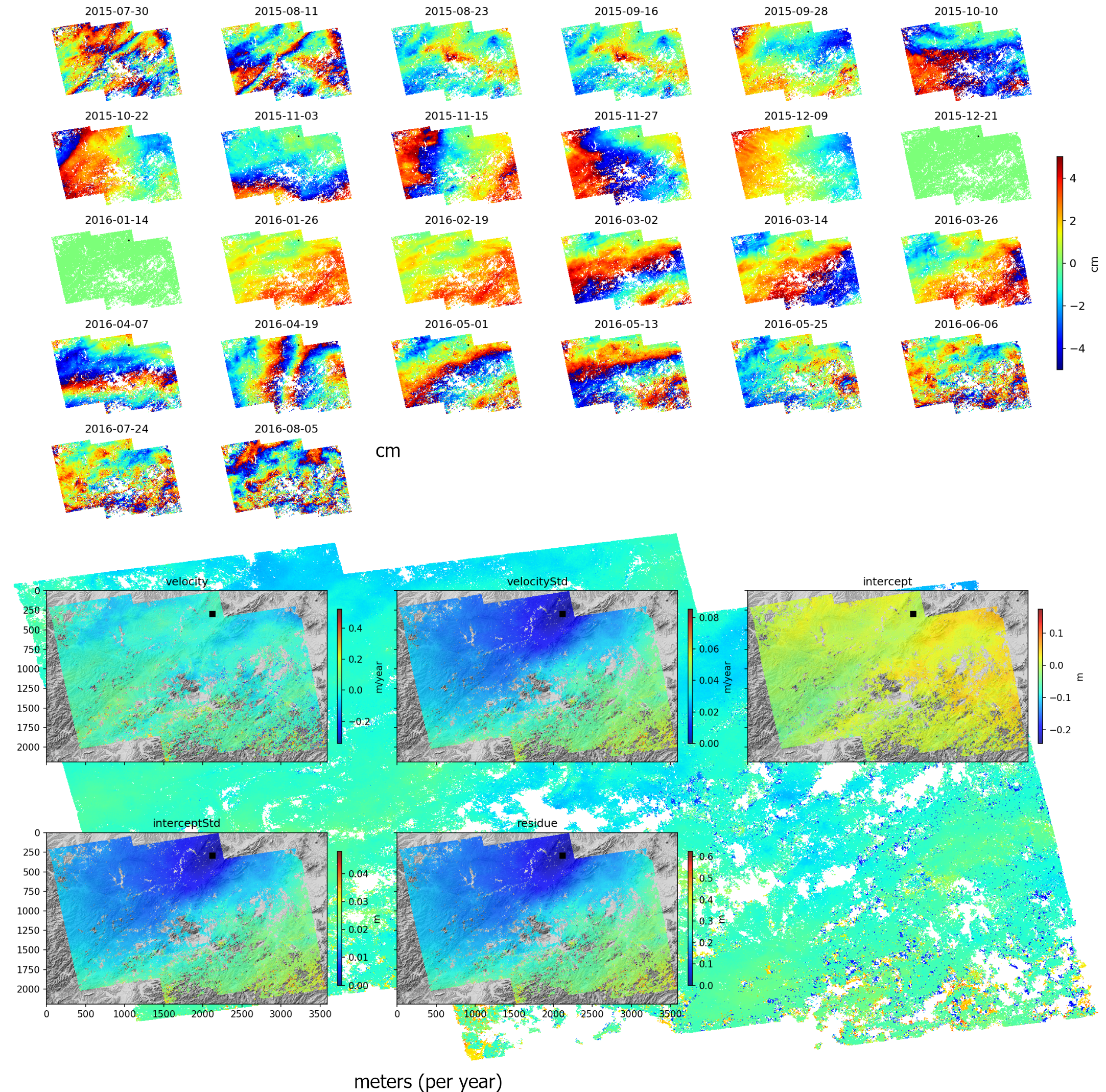
Entire_Velocity_IndividualandStats

03
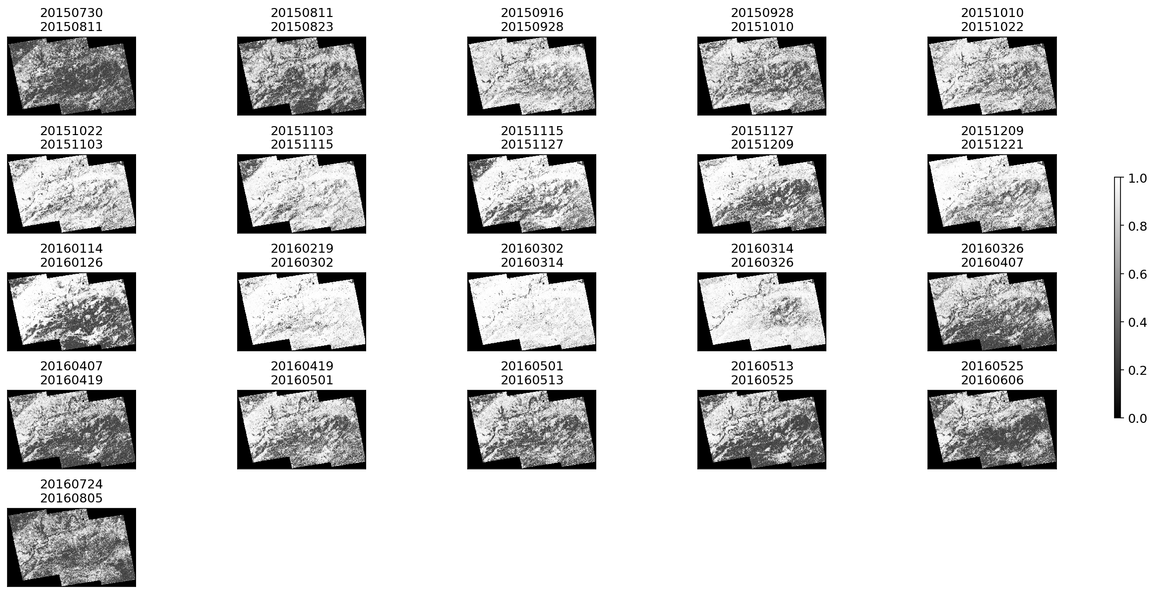
coherence

04
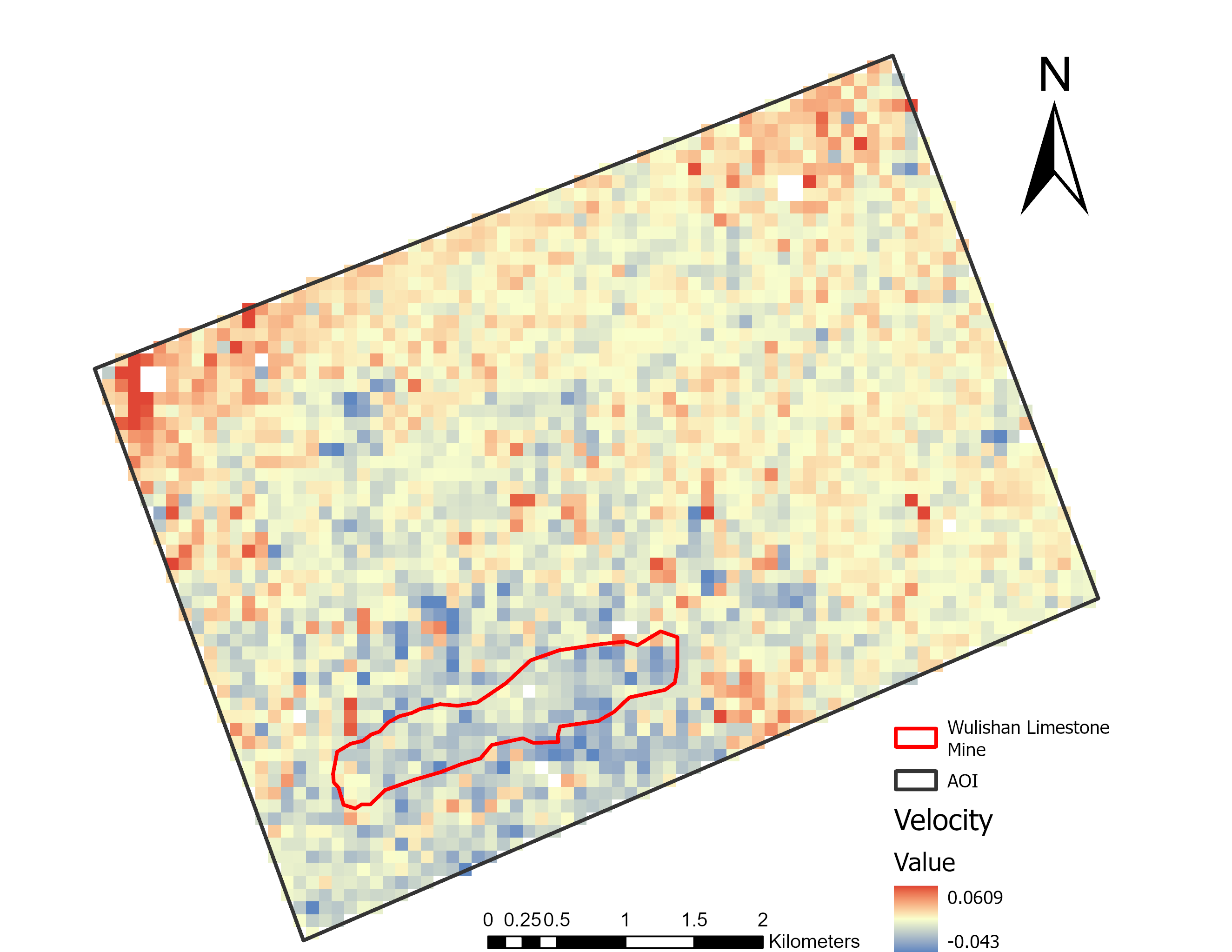
Velocity_WulishanMine

05
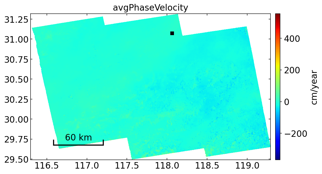
avgPhaseVelocity

06
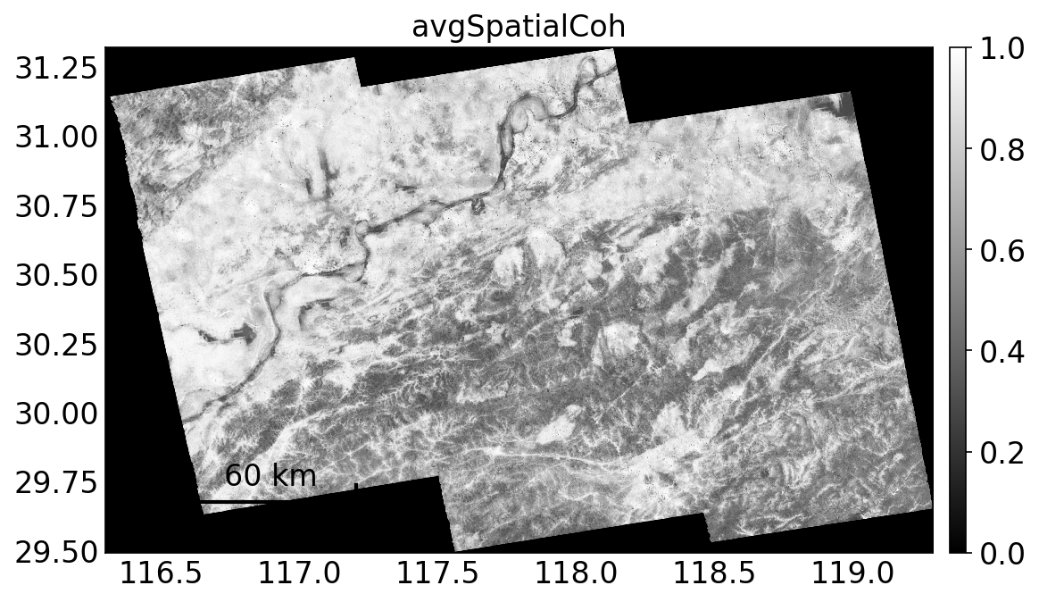
avgSpatialCoh

07
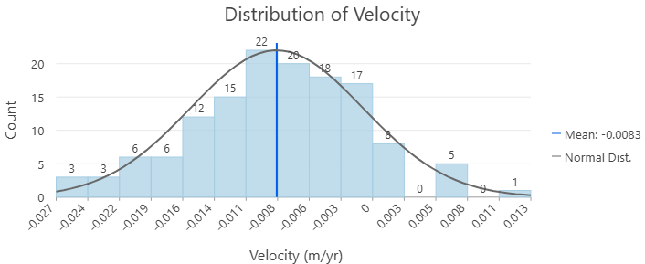
Distribution of Velocity in MiningArea

08
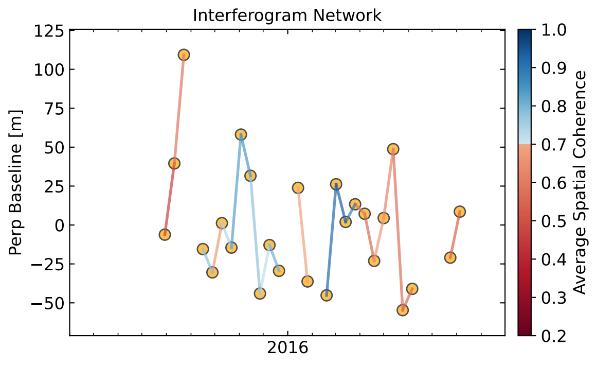
Interferogram_Network

09
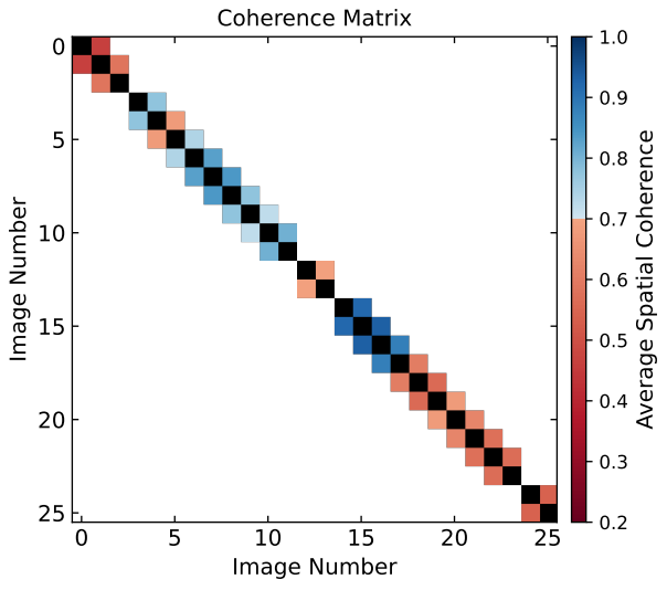
Coherence_Matrix
bottom of page